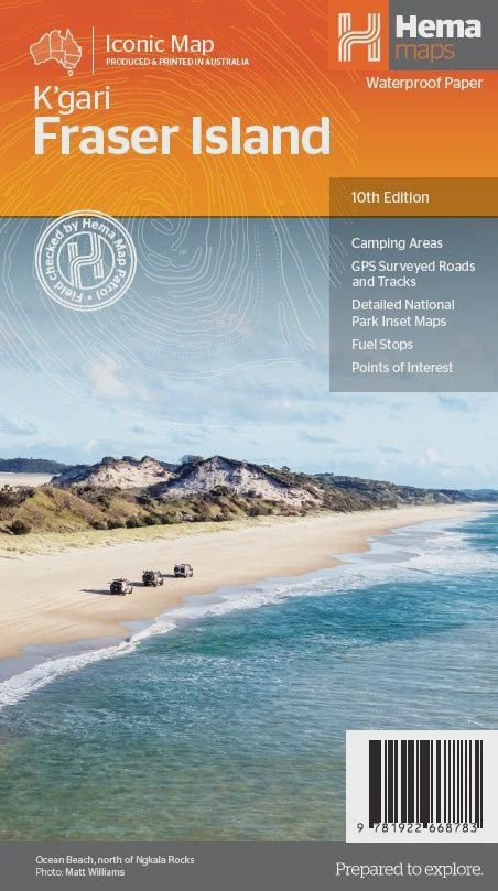
Fraser Island (K'gari) Map
$14.95
Sold out
Price incl. GST (10%) $1.36
Sold out
Product Details
Brand: Hema
K'gari (Fraser Island) is one of the most diverse 4WD destinations in Australia, with beaches, rainforests, perched lakes, sand blows, and more fitting into the world’s largest sand island.
The mapping is highly detailed (1:130,000), with 4WD tracks field checked by the Hema Map Patrol, while hybrid satellite inset maps of Waddy Point, Orchid Beach, Cathedral Beach, Happy Valley, Kingfisher Bay, Eurong, and Second Valley are also included.
On the reverse is a wealth of information for enjoying K'gari (Fraser Island), including touring information on each distinct region, things to do, island access, permit information, accommodation, useful contacts, and helpful insights for sand driving.
Key Features
- Detailed 4WD tracks fully checked by Hema's Map Patrol
- Camping areas
- GPS surveyed roads & tracks
- GPS positions and grid
- Satellite images of key locations
Key Specifications
- Edition: 10th
- Publication Date: 08/05/23
- Scale: 1:130,000
- Folded size (WxHxD): 140mm x 250mm x 3mm
- Flat size (WxH): 700mm x 1000mm
- Weight: 0.09kgs
Save this product for later
Fraser Island (K'gari) Map
Display prices in:AUD