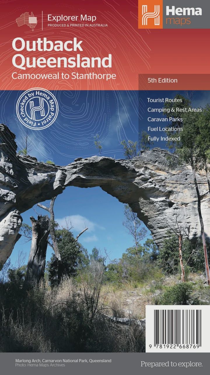
Outback Queensland Map
$14.95
Sold out
Price incl. GST (10%) $1.36
Sold out
Product Details
Brand: Hema
Outback Queensland (QLD) contains mapping and visitor information for one of the most iconic regions in Australia. Mapping at a scale of 1:1,500,000 covers from the inland borders to Toowoomba in the east and Charters Towers in the north, with hill shading and elevation tinting creating a more realistic interpretation of the landscape within the region.
Marked on the map are:
- Points of interest
- Camping areas
- Caravan parks
- Fuel
- Key touring routes
Accompanying the mapping is extensive visitor information for the Channel Country, Matilda Country and the Overlanders Way, with a town and locality index in addition to necessary contact details covering the majority of information for touring the region. Also included are maps of Bladensburg, Idalia, Currawinya, Diamantina and Carnarvon Gorge national parks.
Key Features
- GPS surveyed roads & tracks
- National parks
- Camping areas
- Fuel Stops
- Key touring routes
Key Specifications
- Edition: 5th
- Publication Date: 30/05/23
- Scale: 1:1,500,000
- Folded size (WxHxD): 140mm x 250mm x 3mm
- Flat size (WxH): 700mm x 1000mm
- Weight: 0.09kgs
Save this product for later
Outback Queensland Map
Display prices in:AUD