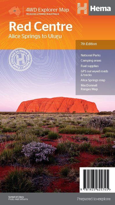
The Red Centre Map
$14.95
Sold out
Price incl. GST (10%) $1.36
Sold out
Product Details
Brand: Hema
This regional waterproof map of the Red Centre is ideal for discovering the quintessentially Australian landscape at the heart of the country. The main map covers the area around Alice Springs, including Uluru, Kata Tjuta, West MacDonnell Range and Watarrka National Park.
It also features additional information relating to permits, useful contacts and historical context surrounding some of the area's most popular tourist destinations.
Key Features
- GPS surveyed roads and tracks
- Fuel stops
- 4WD tracks
- Camping areas
- Historic sites
- Detailed inset maps
Key Specifications
- Edition: 7th
- Publication Date: 15/04/19
- Scale: 1:550,000
- Folded size (WxHxD): 140mm x 250mm x 3mm
- Flat size (WxH): 700mm x 1000mm
- Weight: 0.09kgs
Save this product for later
The Red Centre Map
Display prices in:AUD