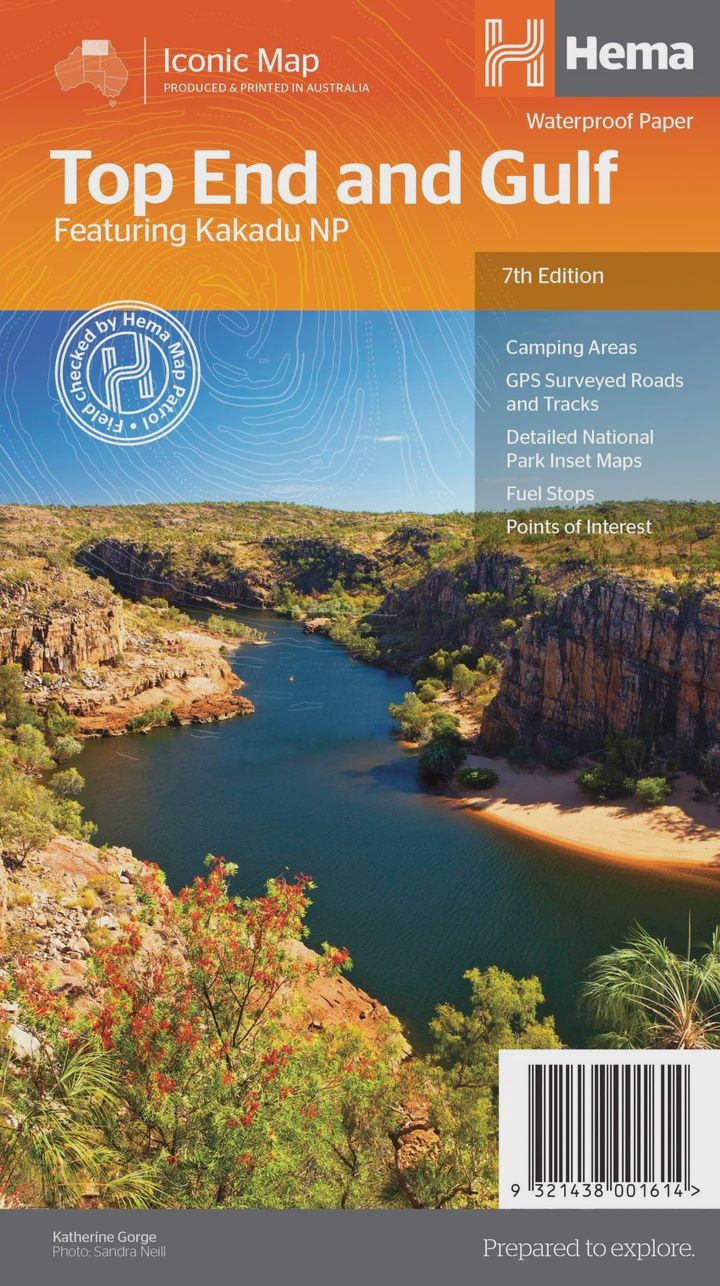
Top End & Gulf Map
$14.95
Sold out
Price incl. GST (10%) $1.36
Sold out
Product Details
Brand: Hema
This regional waterproof map of the Top End and Gulf is ideal for discovering the northern parts of Australia's NT by 4WD. It includes a main map of the Darwin region, Judbarra / Gregory National Park, Nhulunbuy, Keep River National Park and Boodjamulla (Lawn Hill) National Park.
There is additional tourist information for Arnhem Land, the Roper River trek, Darwin region, Douglas-Daly district, Nature’s Way, Victoria Highway, Katherine Region and the Stuart Highway Region.
Key Features
- GPS surveyed roads and tracks
- Fuel stops
- Self-drive 4WD tracks
- Camping areas
- Historic sites
- Detailed National Park inset maps
- Waterproof paper
Key Specifications
- Edition: 7th
- Publication Date: 01/07/19
- Scale: 1:1,650,000
- Folded size (WxHxD): 140mm x 250mm x 3mm
- Flat size (WxH): 700mm x 1000mm
- Weight: 0.09kgs
Save this product for later
Top End & Gulf Map
Display prices in:AUD