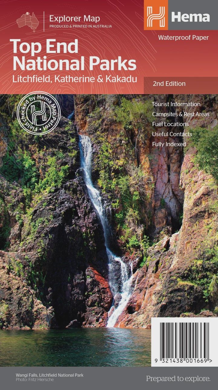
Top End National Parks Map: Litchfield, Katherine & Kakadu
$14.95
Sold out
Price incl. GST (10%) $1.36
Sold out
Product Details
Brand: Hema
Top End National Parks Map: Litchfield, Katherine & Kakadu (2nd Edition)
A regional map that features Litchfield (1:160,000), Katherine Gorge and Kakadu (1:350,000) national parks. A Darwin region map is included (1:850,000) along with extensive tourist information for Darwin and the surrounding region, Arnhem Highway to Kakadu, Mary River, Stuart Highway to Katherine, Litchfield National Park, Katherine Gorge (Nitmiluk) National Park and Kakadu National Park. Also included are national park facility listings in addition to contact details for accommodation and visitor centres in the region.
Key Features
- National Parks facility listing
- Popular tourist routes
- Campsites & rest areas
- Tourist information
Key Specifications
- Edition: 2nd
- Publication Date: 01/11/14
- Scale: 1:850,000 & 1:160,000
- Folded size (WxHxD): 140mm x 250mm x 3mm
- Flat size (WxH): 700mm x 1000mm
- Weight: 0.09kgs
Save this product for later
Top End National Parks Map: Litchfield, Katherine & Kakadu
Display prices in:AUD